Every paddle & hike in the guide.
Each card opens a full field guide: how to get there, what it costs, and the honest truth about whether you should go. New here? Start with the water sports guide.
 Easy
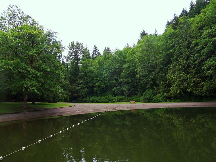
Alice Lake
Four warm lakes, a sandy swim beach, and the easiest family canoe day on the Sea to Sky.
Read the field guide →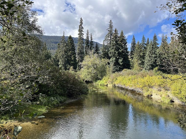 Easy–Mod
River of Golden Dreams
A slow downstream drift from Alta Lake to Green Lake — the paddle the locals want you to do right.
Read the field guide →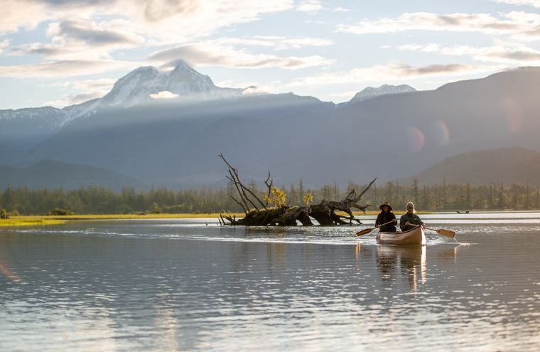 Hard
Echo Falls & Echo Lake
Cross the tidal river, climb to a thundering waterfall, and find a quiet alpine lake above it.
Read the field guide →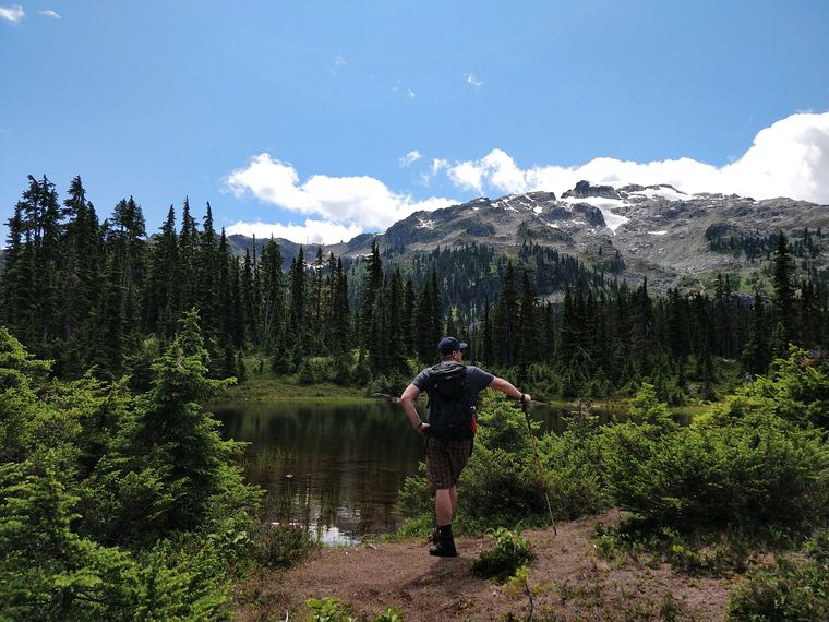 Moderate
Callaghan Lake
Paddle the length of a high alpine lake, then hike the far shore up to Hanging Lake.
Read the field guide →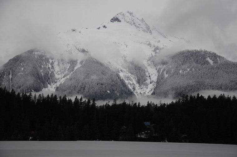 Easy
Levette Lake
Quiet water in the Tantalus foothills: mirror mornings, a 4x4 road, and almost nobody else.
Read the field guide →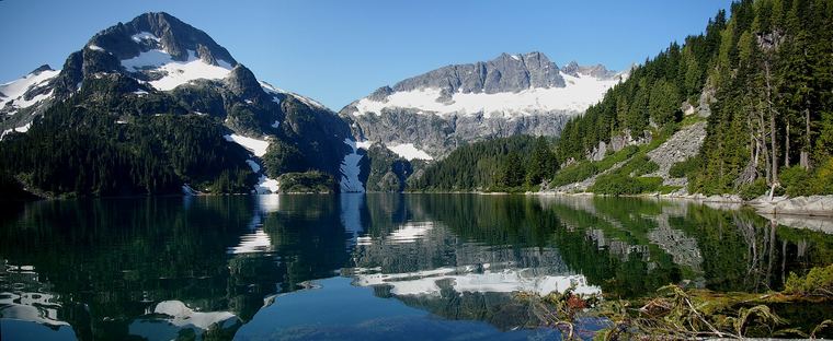 Hard
Lake Lovely Water
A canoe crossing, a steep climb, and an alpine club hut at the foot of the Tantalus Range.
Read the field guide →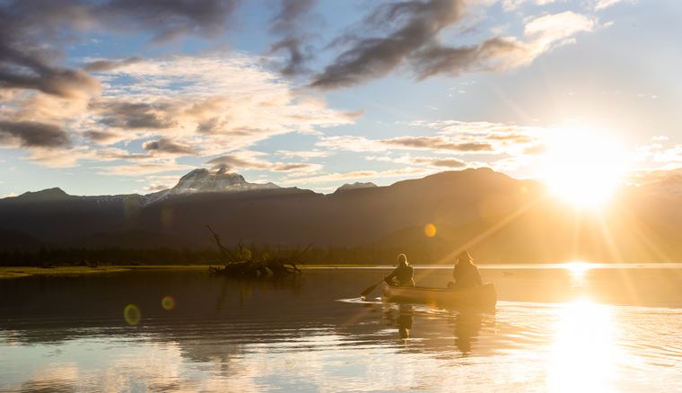 Easy
The Squamish Estuary
Skwelwil'em: tides, herons and wintering eagles, paddled from the edge of town.
Read the field guide →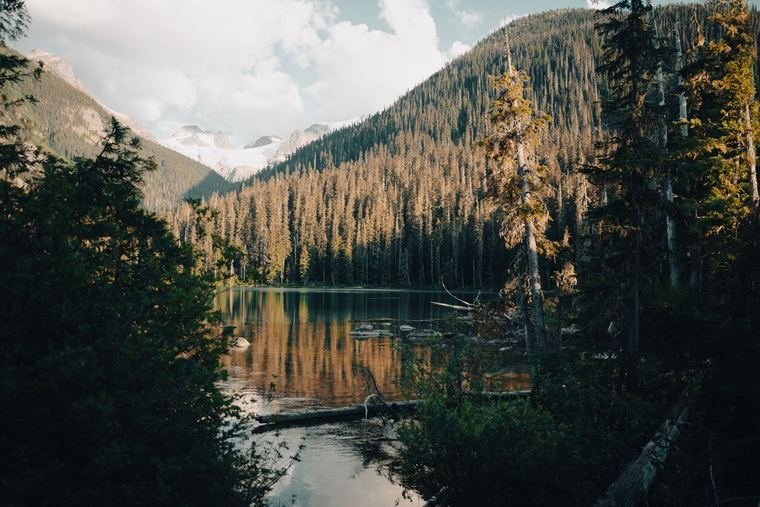 Moderate
Joffre Lakes
Three turquoise lakes stacked up a steep valley: what to expect, and how to beat the crowds.
Read the field guide →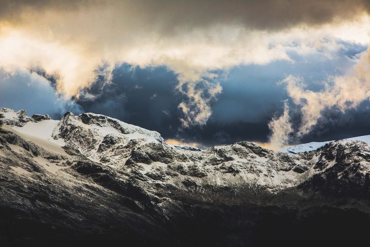 Mod–Hard
Cirque Lake
A granite bowl above Callaghan Lake with no trailhead: you paddle to the climb, then climb to the water.
Read the field guide →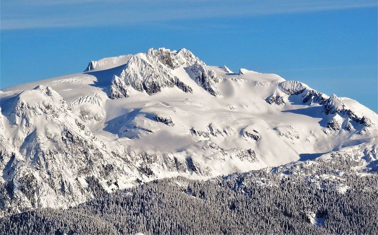 Hard
Watersprite Lake
A turquoise lake in a granite bowl east of Squamish, with a club hut and an FSR to survive first.
Read the field guide →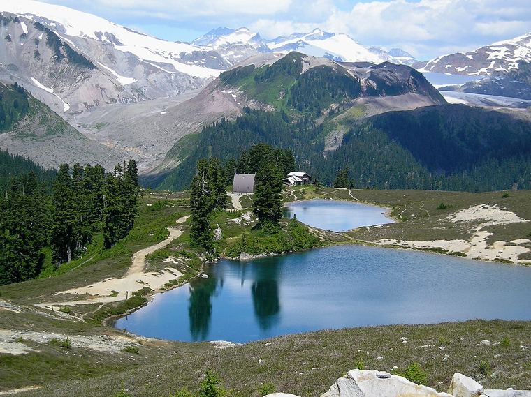 Moderate
Elfin Lakes
The Diamond Head road-grade hike to alpine meadows, twin lakes and a shelter hut.
Read the field guide →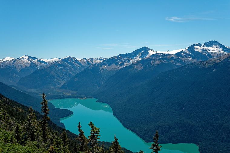 Easy
Cheakamus Lake
Garibaldi's gentlest trail: 3.5 km of old-growth forest to a glacier-fed turquoise lake.
Read the field guide →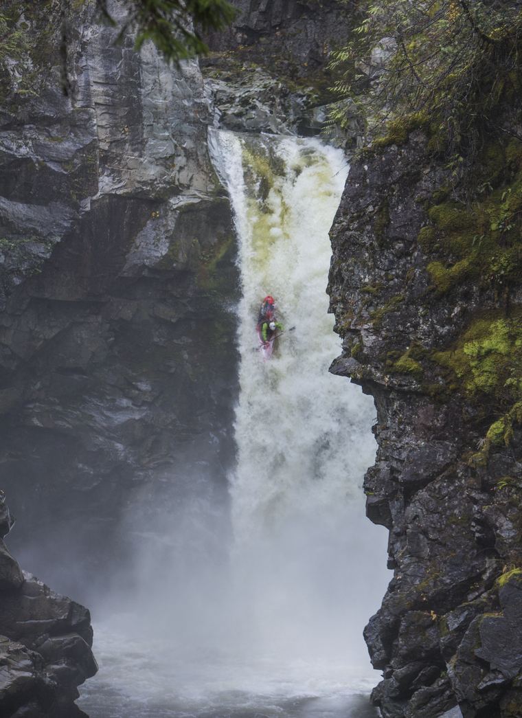 Easy
The Mamquam
The river, the falls and the gravel road that unlocks Squamish's east-side alpine.
Read the field guide →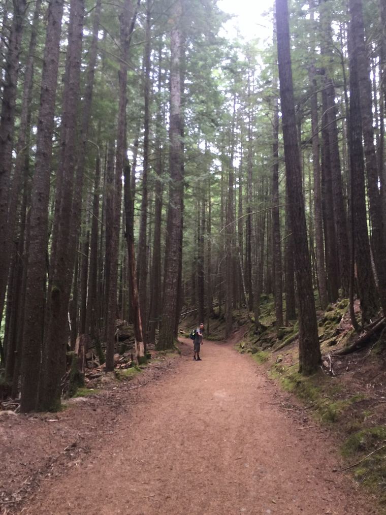 Easy
Edith Lake
The quiet lake on the Four Lakes Trail: lilies, dragonflies and a loop that suits every age.
Read the field guide →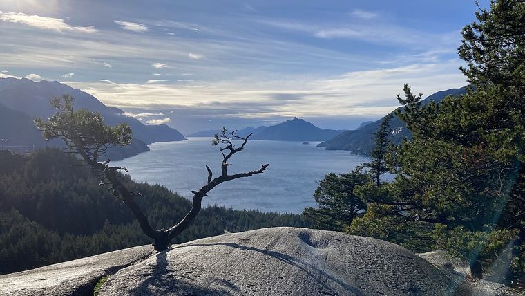 Moderate
Petgill Lake
A rolling forest hike above Howe Sound to a quiet swim lake with bluff viewpoints.
Read the field guide →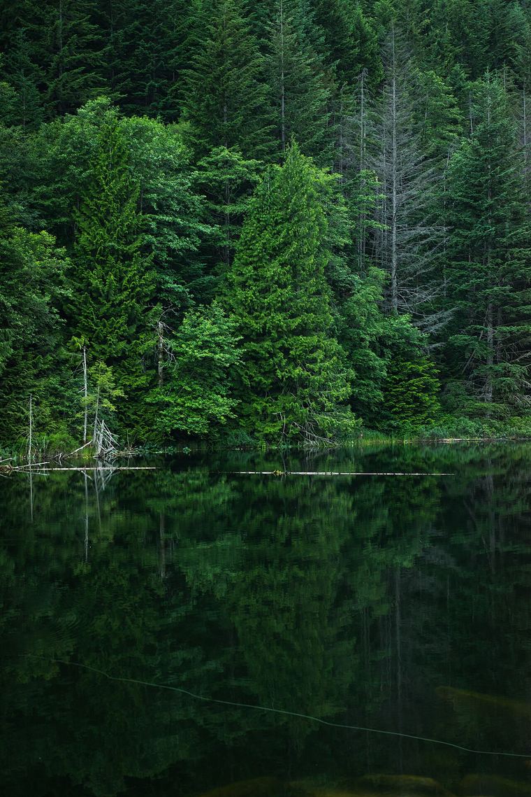 Easy
Lucille Lake
A hidden swim lake with clear water and a sandy beach, a short walk off Chance Creek.
Read the field guide →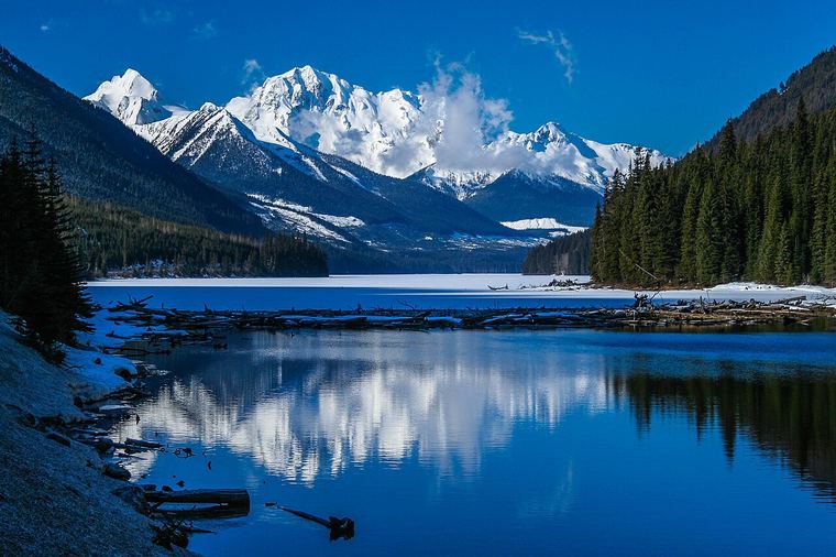 Easy
Duffey Lake
A long glacier-cold lake beside Highway 99, built for mirror mornings and roadside launches.
Read the field guide →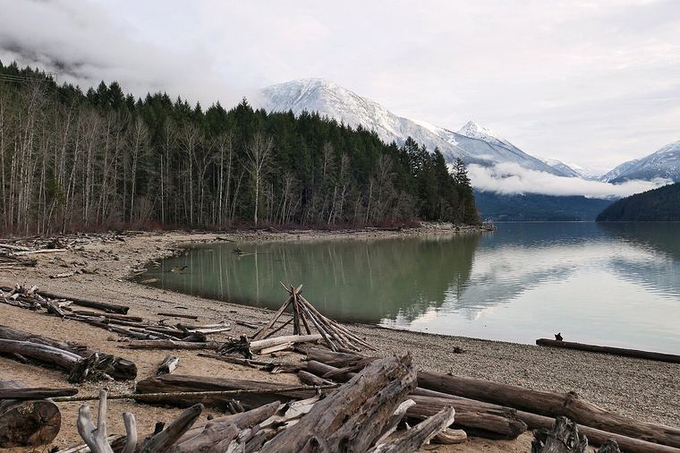 Easy–Mod
Lillooet Lake
Jade water past the end of the pavement, with rustic rec-site camps along the shore.
Read the field guide →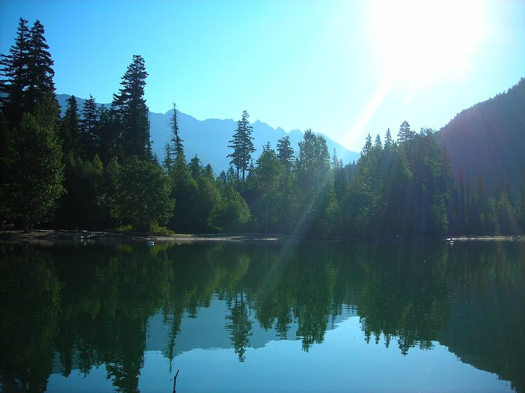 Easy
Birkenhead Lake
An end-of-the-road provincial park lake: cold, clear and ideal for a family paddle.
Read the field guide →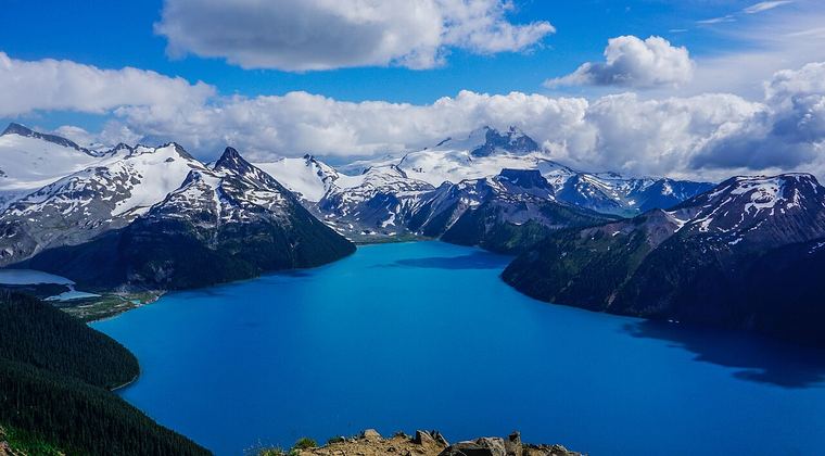 Hard
Panorama Ridge
The famous 30 km day above Garibaldi Lake's turquoise sweep: logistics, pacing and honest advice.
Read the field guide →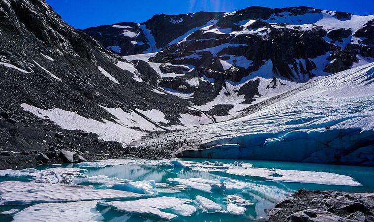 Hard
Wedgemount Lake
Garibaldi's steepest trail: a relentless 1,200 m climb to a glacier-fed lake and a mountain hut.
Read the field guide →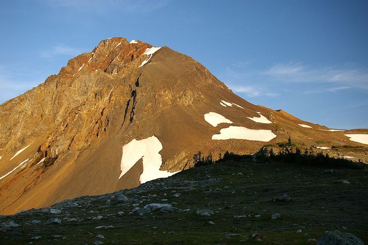 Mod–Hard
Russet Lake
A rust-tinted lake under Fissile Peak, reached by lift-assisted or valley-bottom routes.
Read the field guide →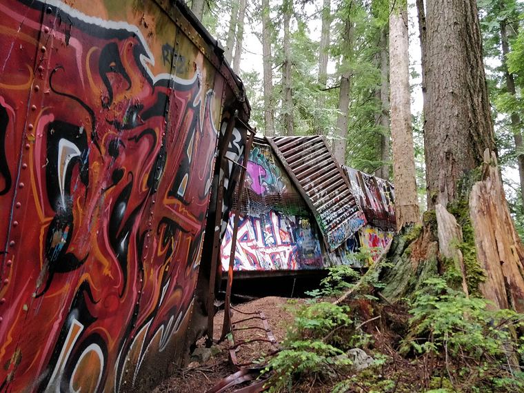 Easy
The Train Wreck
Seven graffiti-painted boxcars from a 1956 derailment, scattered through old-growth forest.
Read the field guide →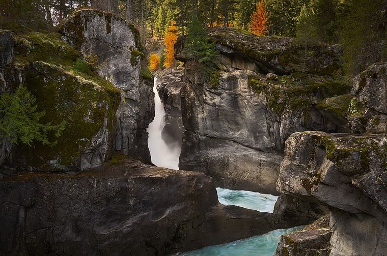 Easy
Nairn Falls
The ten-minute pull-over on Highway 99 that everyone drives past, and the campground behind it.
Read the field guide →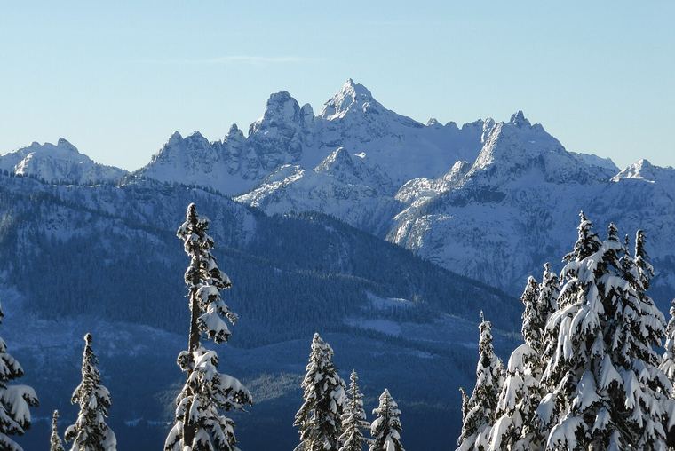 Serious
Sky Pilot
The glaciated skyline peak above the gondola: route notes for the experienced and the honestly curious.
Read the field guide →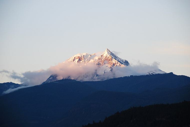 Look up
Mount Garibaldi
Nch'ḵay̓, the glaciated volcano the park is named for, and five places to see it from.
Read the field guide →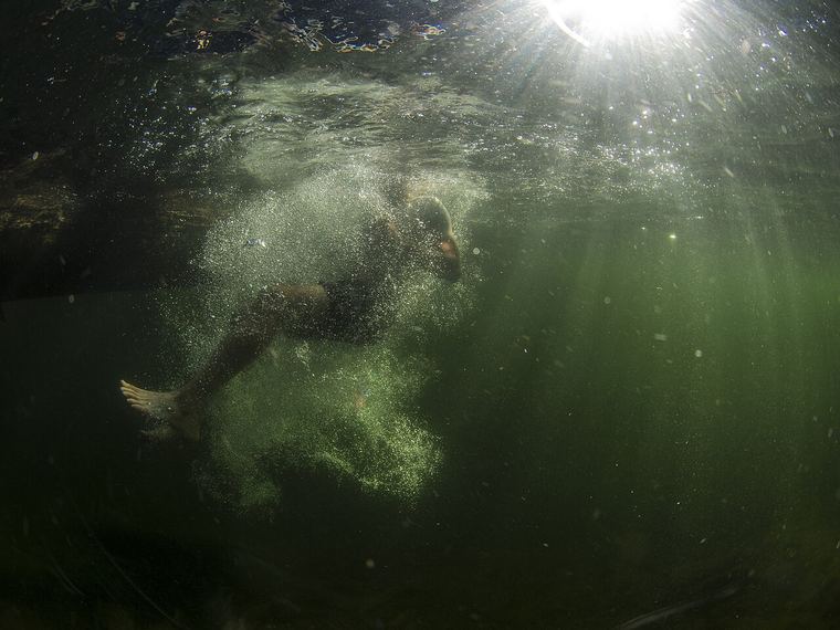 Easy
Brohm Lake
The highway swim lake: rope swings, rock ledges and a hand-carry launch.
Read the field guide →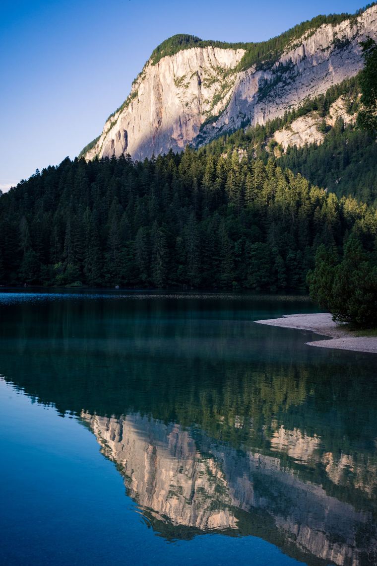 Easy
Murrin Park
Browning Lake, the Jurassic Ridge loop and the climbing bluffs, right off the Sea to Sky Highway.
Read the field guide → Easy
Porteau Cove
The closest serious saltwater paddling launch to Vancouver, with beach camping and a dive reef.
Read the field guide → Easy
Porteau Cove Provincial Park
Camping, an artificial-reef dive program and a day-use beach on the shore of Howe Sound.
Read the field guide → Serious
Anvil Island & Leading Peak
A steep, exposed summit in the middle of Howe Sound, reachable only by boat.
Read the field guide → NewHard
Stawamus Chief
Three peaks, 1.5–1.8 km each way and 540–630 m of climbing: Squamish's most famous hike, done properly.
Read the field guide →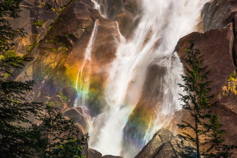 NewEasy
Shannon Falls
A 335 m waterfall, third highest in British Columbia, at the end of a short walk off Highway 99.
Read the field guide →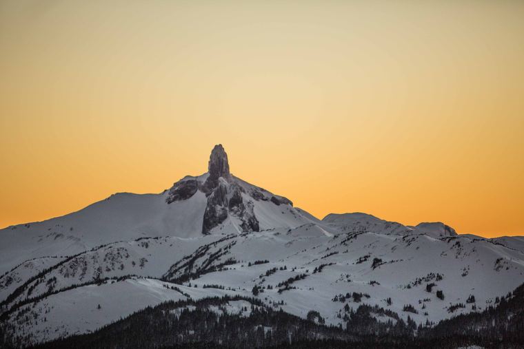 NewHard
Black Tusk
The volcanic spire above Garibaldi Lake: a long full-day hike to the base of Garibaldi's most recognisable landmark.
Read the field guide →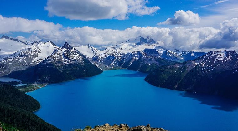 NewHard
Garibaldi Lake
The turquoise lake the park is named for: about 9 km and 900 m from Rubble Creek, with a day pass in summer.
Read the field guide →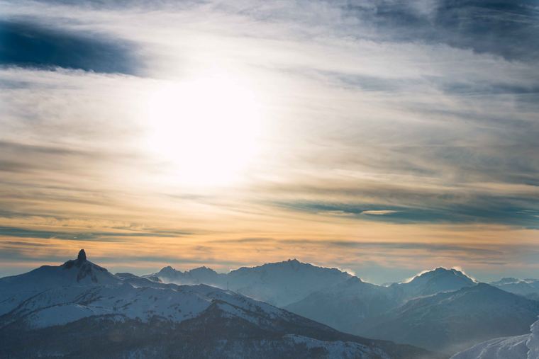 NewHard
Singing Pass
The strenuous valley trail from Whistler into Garibaldi's Spearhead country: 11.5 km and about 1,200 m to the pass.
Read the field guide →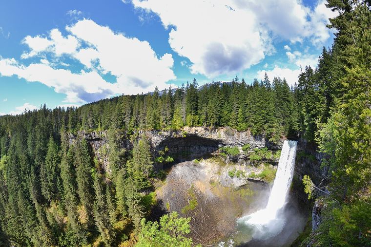 NewEasy
Brandywine Falls
A 70 m waterfall at the end of a 10–20 minute walk, 47 km north of Squamish.
Read the field guide →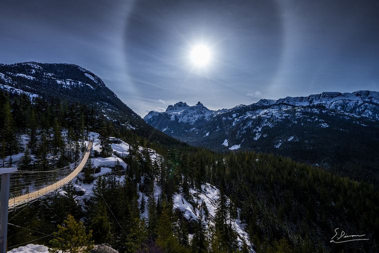 NewHard
Sea to Summit Trail
Hike from sea level to the Sea to Sky Gondola summit: 6.5 km and about 918 m, then ride down.
Read the field guide →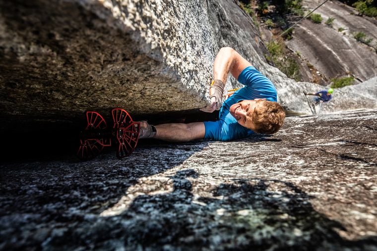 NewEasy–Mod
Smoke Bluffs Park
In-town granite: 400+ climbing routes and seven trails minutes from downtown Squamish.
Read the field guide →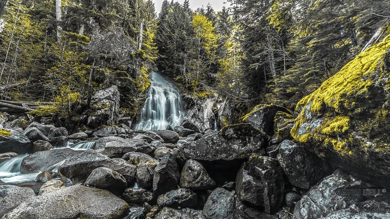 NewHard
Rainbow Lake
Whistler's classic full-day climb from Rainbow Falls: about 16 km return and 850 m of gain, no dogs.
Read the field guide →